Our local COLDWATER fisheries

cohocton river
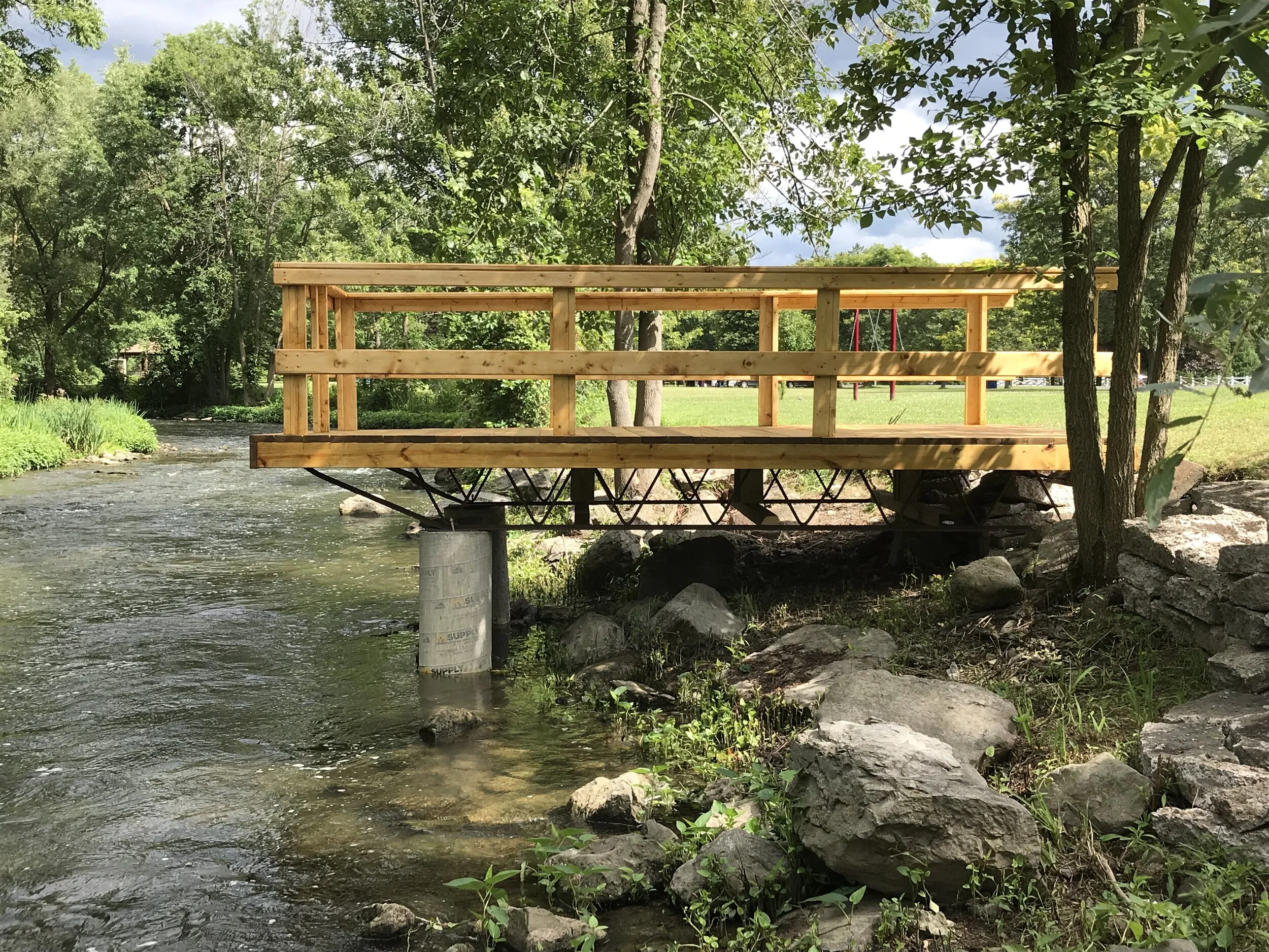
Cohocton River Temperature Guage
Brown trout, Brook trout
The Cohocton River originates in southern Livingston County and flows southeasterly through Steuben County until it enters the Chemung River. The Cohocton River provides a unique year round trout fishery. The upper section of the Cohocton River contains wild brook trout as well as both wild and stocked brown trout. Brook trout are found primarily in the colder headwaters. The lower portions of the Cohocton River contain stocked brown trout and an occasional wild brown trout or brook trout. Some large trout (over 20 inches) can be found in this portion of the river.

OATKA CREEK
Brown trout
Oatka Creek is a freestone stream located in Monroe and Genesee Counties. The 1.7 mile section of stream running through Oatka Creek County Park, located in the Town of Wheatland, is prized for it's wild brown trout fishery. The Oatka is inhabited primarily by brown trout, but don't be surprised if you catch a warm water game fish such as black bass or northern pike. Each year the Department of Environmental Conservation (NYSDEC) stocks 11,200 brown trout, primarily along Oatka Trail Road in Genesee County and the Scottsville Village Park in Monroe County.

naples creek
Brown trout, Brook trout, Rainbow trout
Naples Creek flows through southern Ontario County and empties into Canandaigua Lake in Yates County. Naples Creek and its tributaries are well known for their spring runs of wild rainbow trout. Many anglers come to Naples Creek each year in search of trophy rainbow trout. Grimes Creek, a tributary of Naples Creek, also supports wild brown and brook trout in its upper reaches.

sandy Creek
Brown trout, Rainbow trout
Chinook salmon, Coho salmon
Sandy Creek flows through Orleans and Monroe Counties, emptying into Lake Ontario west of Rochester. Fall runs of coho salmon, brown trout and chinook salmon offer good opportunities for anglers. Runs of rainbow trout (steelhead) occur in late fall and early spring, offering additional angler enjoyment.

oak orchard creek
Brown trout, Rainbow trout, Chinook salmon, Coho salmon
The Oak Orchard River begins at the Oak Orchard swamps in Genesee County and flows through Orleans County, emptying into Lake Ontario at Point Breeze. Marsh Creek, a prominent tributary of the Oak Orchard River, meets up with the river at an area known as "The Bridges." Oak Orchard River and Marsh Creek offer excellent cold water fishing with opportunities to catch brown trout, rainbow trout (steelhead), chinook and coho salmon. Runs of these fish offer some of the most exciting cold water fishing in New York State.

Irondequoit Creek
Brown trout, Rainbow trout
Irondequoit Creek flows through Ontario and Monroe counties emptying into Irondequoit Bay on Lake Ontario. Irondequoit Creek is one of the best rainbow trout (steelhead) streams in New York State. Although it has only a small amount of Public Fishing Rights Areas purchased by the NYSDEC, numerous city, town and county parks offer additional access sites on Irondequoit Creek. Each year the Department of Environmental Conservation (NYSDEC) stocks 27,500 rainbow trout (steelhead) and 7,600 brown trout including over 1,500 two year old fish. Monroe County also stocks brown trout into the portion of Irondequoit Creek within Powder Mill Park. Wild brown trout are found upstream of Powder Mill Park.

eighteen mile creek
Brown trout, Rainbow trout, Smallmouth bass
Eighteen Mile Creek and its South Branch, located near Hamburg in Erie County, support an outstanding run of Lake Erie steelhead. Together these streams provide over 13 miles of angling opportunity. Steelhead can be found in the stream from mid-October into early May. There are 1.4 miles of public fishing rights easements on Eighteen Mile Creek. In addition, over two and a half miles of the main stream and the South Branch are open to the public in the Eighteen Mile Creek County Park, owned by Erie County. The lower section of the creek offers good smallmouth bass angling opportunity in spring and summer.

salmon river
Brown trout, Rainbow trout
Chinook salmon, Coho salmon
Atlantic salmon, Smallmouth bass
The Salmon River is located in Oswego County near the village of Pulaski. There are 12 miles of Public Fishing Rights (PFR's) along the river. The Salmon River is a world class sport fishery for Chinook and coho salmon, Atlantic salmon, steelhead (rainbow trout),and brown trout. Smallmouth bass are also found in the river. The Salmon River is stocked annually with around 300,000 Chinook salmon, 80,000 coho salmon, 100,000 steelhead (rainbow trout) and 30,000 Atlantic salmon. Significant natural reproduction also takes place in the river. The Salmon River Fish Hatchery is located on a tributary to the Salmon River and is the egg collection point for all of the NYS Lake Ontario Chinook and coho salmon, and steelhead stocking program.

ninemile Creek
Brown trout, Brook trout
Ninemile Creek is located in Onondaga County near the towns of Camillus and Marcellus. There are 4.3 miles of Public Fishing Rights (PFR's) along this medium sized mostly open stream. Ninemile Creek is a popular fly fishing location. Both wild brown trout and the occasional wild brook trout are found in the stream.The stream is also stocked annually by Onondaga County's Carpenter's Brook Fish Hatchery with around 11,500 one year-old brown trout (8-9"), 4,300 two year-old brown trout (12-14") and 2,280 one year-old brook trout (9-11").

Cattaraugus Creek, Hosmer & Spring Brooks
Brown trout, Rainbow trout
Cattaraugus Creek originates at Java Lake in southwestern Wyoming County and flows westerly, becoming the border between Cattaraugus and Erie Counties. There are 13.8 miles of public fishing rights easements on this stream. Each spring, more than 18 miles of Cattaraugus Creek (from East Arcade downstream to the Town Line Road Bridge) are stocked with brown trout. In addition, the stream has healthy populations of wild brown and rainbow trout. Though not stocked, Hosmer Brook has excellent wild brown and rainbow trout populations. Spring Brook, a small Cattaraugus Creek tributary in Wyoming County also has wild brown and rainbow trout, as well as some wild brook trout. Hosmer Brook has 1.6 miles of public fishing rights easements and Spring Brook has 0.8 miles.

limestone creek
Brown trout, Brook trout
Limestone Creek is located in Onondaga County near the town of Delphi Falls. There are 1.6 miles of Public Fishing Rights (PFR's) along the creek. Upstream of Route 20 the creek is small and brush lined, below Route 20 it becomes larger and deeper. Both wild brown and brook trout can be found in the creek which is also stocked annually by Onondaga County's Carpenter's Brook Fish Hatchery with around 7,000 one year-old brown trout (8-9"), 4,200 two year-old brown trout (12-14") and 700 one year-old brook trout (9-11").
Canandaigua Outlet
Brown trout, Smallmouth Bass, Panfish
The Canandaigua Outlet is a main tributary which feeds the Erie Canal and Clyde River in Wayne County, New York, United States. It begins at Canandaigua Lake in nearby Ontario County and flows approximately 34 miles (55 km) north before emptying into the Erie Canal in the hamlet of Lyons. A number of tributaries feed the Canandaigua Outlet along its route. It is the primary outflow for Canandaigua Lake. The Canandaigua Outlet is part of the Clyde River watershed which feeds the Seneca River. From there, the Seneca River enters the Oswego River and into Lake Ontario. It is used for fishing as well as whitewater canoeing, kayaking and rafting.
Check out our newly installed Mayfly System that will monitor the Cohocton River water temps, depths, and conductance, go to Cohocton River Temperature Gauge
Oatka Creek Temperature Gauge: Oatka Creek Temperature Guage
For more stream and water PFR maps, visit the Department of Environmental Conservation’s Public Fishing Rights website
For daily stream flow conditions, go to the USGS current water data for New York site
To check on current water quality and conditions go to the USGS National Water Dashboard
For the Department of Environmental Conservation’s interactive map, go to DECinfo Locator site